Brampton Barbers, Chatsworth Road
Introduction
The photograph on this page of Brampton Barbers, Chatsworth Road by Alan Murray-Rust as part of the Geograph project.
The Geograph project started in 2005 with the aim of publishing, organising and preserving representative images for every square kilometre of Great Britain, Ireland and the Isle of Man.

There are currently over 7.5m images from over 14,400 individuals and you can help contribute to the project by visiting https://www.geograph.org.uk
Brampton Barbers, Chatsworth Road
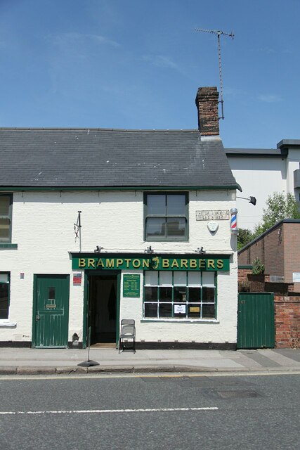
Image: © Alan Murray-Rust Taken: 15 Jun 2021
The key feature is the road name sign http://www.geograph.org.uk/photo/6885379 , indicating that this was the site of the toll bar on the turnpike road at the entrance to Chesterfield. The 1:2500 OS map of 1879 shows the chain as being sited between the two cottages, which may have housed the toll keepers.
Images are licensed for reuse under creativecommons.org/licenses/by-sa/2.0
Image Location
Latitude
53.23429
Longitude
-1.444589