Stour Court
Introduction
The photograph on this page of Stour Court by Ian Capper as part of the Geograph project.
The Geograph project started in 2005 with the aim of publishing, organising and preserving representative images for every square kilometre of Great Britain, Ireland and the Isle of Man.

There are currently over 7.5m images from over 14,400 individuals and you can help contribute to the project by visiting https://www.geograph.org.uk
Stour Court
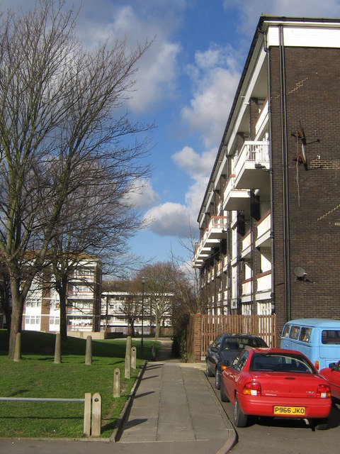
Image: © Ian Capper Taken: 6 Feb 2008
One of the blocks on the Ramsden Estate, all named after rivers. This one dates from 1968.
Images are licensed for reuse under creativecommons.org/licenses/by-sa/2.0
Image Location
Latitude
51.374384
Longitude
0.119559