Mawddach Trail
Introduction
The photograph on this page of Mawddach Trail by Chris Thomas-Atkin as part of the Geograph project.
The Geograph project started in 2005 with the aim of publishing, organising and preserving representative images for every square kilometre of Great Britain, Ireland and the Isle of Man.

There are currently over 7.5m images from over 14,400 individuals and you can help contribute to the project by visiting https://www.geograph.org.uk
Mawddach Trail
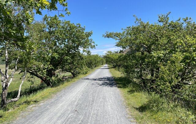
Image: © Chris Thomas-Atkin Taken: 12 Jun 2021
The trail at this point is lined by single trees as it approaches Penmaenpool.
Images are licensed for reuse under creativecommons.org/licenses/by-sa/2.0
Image Location
Latitude
52.74649
Longitude
-3.952957