Direction Sign ? Signpost near Kentishes Farm in Stisted parish
Introduction
The photograph on this page of Direction Sign ? Signpost near Kentishes Farm in Stisted parish by John V Nicholls as part of the Geograph project.
The Geograph project started in 2005 with the aim of publishing, organising and preserving representative images for every square kilometre of Great Britain, Ireland and the Isle of Man.

There are currently over 7.5m images from over 14,400 individuals and you can help contribute to the project by visiting https://www.geograph.org.uk
Direction Sign ? Signpost near Kentishes Farm in Stisted parish
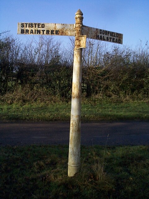
Image: © John V Nicholls Taken: 22 Feb 2011
Located on a grass triangle in the centre of a T junction near Kentishes Farm in Stisted parish. 3 arms. 1 missing, and cone finial. Milestone Society National ID: EX_TL7926
Images are licensed for reuse under creativecommons.org/licenses/by-sa/2.0
Image Location
Latitude
51.905771
Longitude
0.604952