Cycle Surrey Hills
Introduction
The photograph on this page of Cycle Surrey Hills by Colin Smith as part of the Geograph project.
The Geograph project started in 2005 with the aim of publishing, organising and preserving representative images for every square kilometre of Great Britain, Ireland and the Isle of Man.

There are currently over 7.5m images from over 14,400 individuals and you can help contribute to the project by visiting https://www.geograph.org.uk
Cycle Surrey Hills
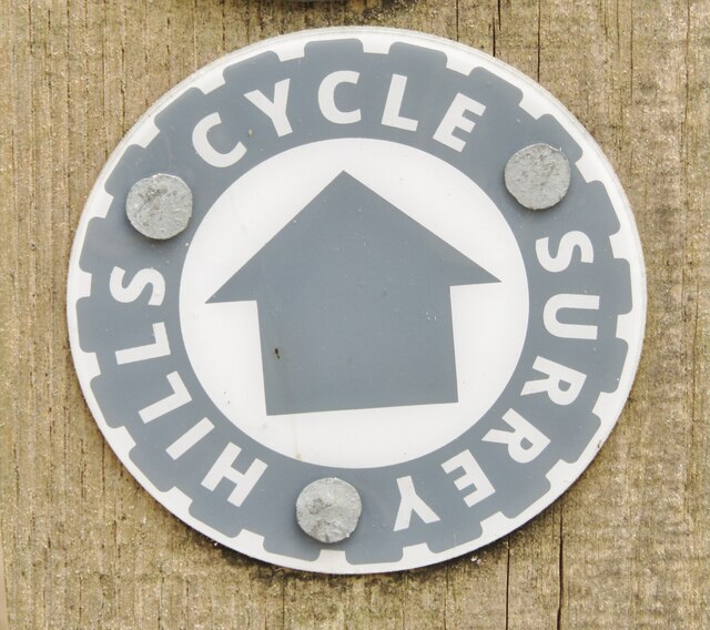
Image: © Colin Smith Taken: 28 May 2021
Waymarker on Thursley Common - the Surrey Hills have become a magnet for cyclists since the 2012 London Olympics.
Images are licensed for reuse under creativecommons.org/licenses/by-sa/2.0
Image Location


Leaflet Map data © OpenStreetMap
Latitude
51.159067
Longitude
-0.693933