Too much waterweed?
Introduction
The photograph on this page of Too much waterweed? by David Medcalf as part of the Geograph project.
The Geograph project started in 2005 with the aim of publishing, organising and preserving representative images for every square kilometre of Great Britain, Ireland and the Isle of Man.

There are currently over 7.5m images from over 14,400 individuals and you can help contribute to the project by visiting https://www.geograph.org.uk
Too much waterweed?
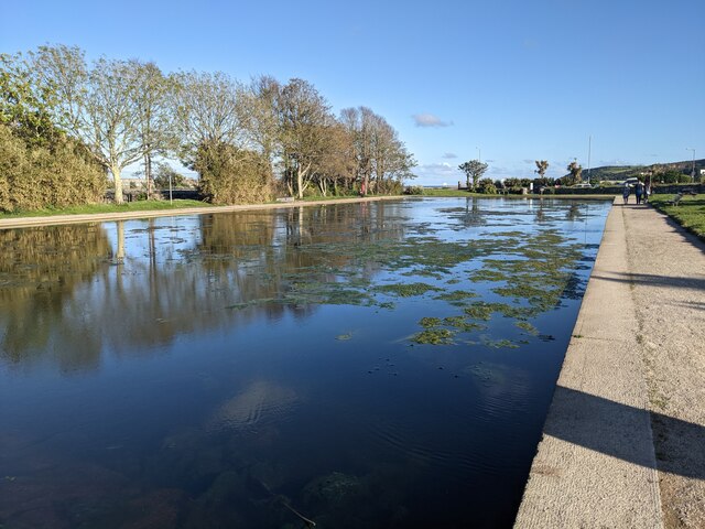
Image: © David Medcalf Taken: 3 Jun 2021
The boating lake provided by the Rotary Club in 1955 is becoming full of weed - perhaps through climate change? It certainly reduces the scope for boating - see: https://www.geograph.org.uk/photo/886962
Images are licensed for reuse under creativecommons.org/licenses/by-sa/2.0
Image Location
Latitude
50.111869
Longitude
-5.544546