Gate across a track by Woodside Farm
Introduction
The photograph on this page of Gate across a track by Woodside Farm by Stephen Craven as part of the Geograph project.
The Geograph project started in 2005 with the aim of publishing, organising and preserving representative images for every square kilometre of Great Britain, Ireland and the Isle of Man.

There are currently over 7.5m images from over 14,400 individuals and you can help contribute to the project by visiting https://www.geograph.org.uk
Gate across a track by Woodside Farm
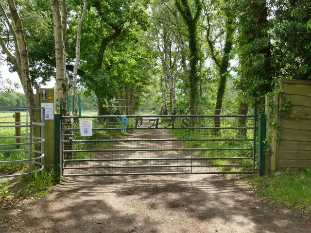
Image: © Stephen Craven Taken: 26 Jun 2021
The gate marks the end of the public road. Beyond it is access only for fishermen (PAAS stands for the Prince Albert Angling Society) although there is a public right of way on foot via the kissing gate to the left.
Images are licensed for reuse under creativecommons.org/licenses/by-sa/2.0
Image Location
Latitude
53.236899
Longitude
-2.396698