Flood scheme signs
Introduction
The photograph on this page of Flood scheme signs by DS Pugh as part of the Geograph project.
The Geograph project started in 2005 with the aim of publishing, organising and preserving representative images for every square kilometre of Great Britain, Ireland and the Isle of Man.

There are currently over 7.5m images from over 14,400 individuals and you can help contribute to the project by visiting https://www.geograph.org.uk
Flood scheme signs
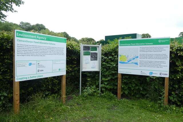
Image: © DS Pugh Taken: 27 Jun 2021
Signs for the Clementhorpe Flood Alleviation Scheme. Strangely the same text is displayed on both signs.
Images are licensed for reuse under creativecommons.org/licenses/by-sa/2.0
Image Location
Latitude
53.945938
Longitude
-1.083692