St Athan Airport
Introduction
The photograph on this page of St Athan Airport by Philip Halling as part of the Geograph project.
The Geograph project started in 2005 with the aim of publishing, organising and preserving representative images for every square kilometre of Great Britain, Ireland and the Isle of Man.

There are currently over 7.5m images from over 14,400 individuals and you can help contribute to the project by visiting https://www.geograph.org.uk
St Athan Airport
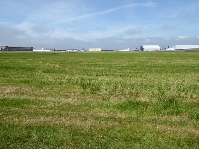
Image: © Philip Halling Taken: 14 Jun 2021
The former RAF St Athan/Sain Tathan is now a civilian airport.
Images are licensed for reuse under creativecommons.org/licenses/by-sa/2.0
Image Location
Latitude
51.403926
Longitude
-3.436285