Ogden Lane, Rastrick
Introduction
The photograph on this page of Ogden Lane, Rastrick by Humphrey Bolton as part of the Geograph project.
The Geograph project started in 2005 with the aim of publishing, organising and preserving representative images for every square kilometre of Great Britain, Ireland and the Isle of Man.

There are currently over 7.5m images from over 14,400 individuals and you can help contribute to the project by visiting https://www.geograph.org.uk
Ogden Lane, Rastrick
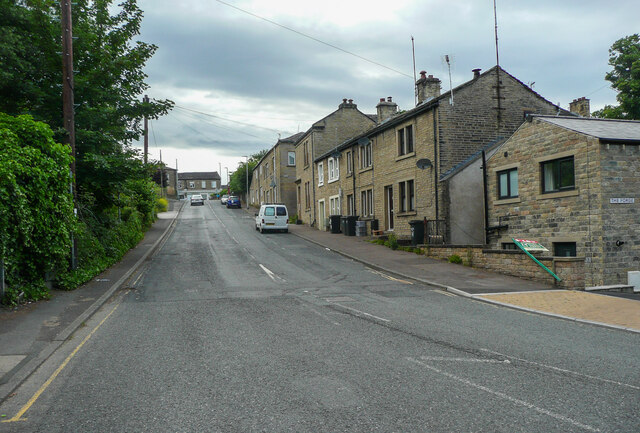
Image: © Humphrey Bolton Taken: 24 Jun 2021
This is a revisit to the subject of the first geograph for the square: Image The main change is that a house has been built on the right, part of a redevelopment of the site of a forge. This road was originally the main road through Rastrick on its way to Elland, and later also to New Hey in Lancashire. There is a milestone on the left near the top of the hill.
Images are licensed for reuse under creativecommons.org/licenses/by-sa/2.0
Image Location
Latitude
53.690843
Longitude
-1.789472