Path in Elmdon Park
Introduction
The photograph on this page of Path in Elmdon Park by Chris Allen as part of the Geograph project.
The Geograph project started in 2005 with the aim of publishing, organising and preserving representative images for every square kilometre of Great Britain, Ireland and the Isle of Man.

There are currently over 7.5m images from over 14,400 individuals and you can help contribute to the project by visiting https://www.geograph.org.uk
Path in Elmdon Park
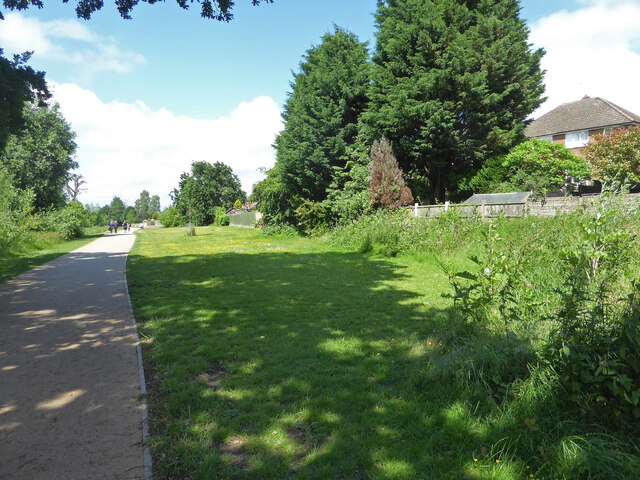
Image: © Chris Allen Taken: 26 Jun 2021
At this point the path is heading towards the A45 and is behind houses on the right. The Park was the grounds of a now demolished hall built as a country retreat by a Birmingham ironmaster.
Images are licensed for reuse under creativecommons.org/licenses/by-sa/2.0
Image Location
Latitude
52.446357
Longitude
-1.768817