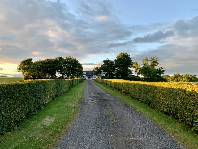
Dumbain Farm
Introduction
The photograph on this page of Dumbain Farm by George Rankin as part of the Geograph project.
The Geograph project started in 2005 with the aim of publishing, organising and preserving representative images for every square kilometre of Great Britain, Ireland and the Isle of Man.
There are currently over 7.5m images from over 14,400 individuals and you can help contribute to the project by visiting https://www.geograph.org.uk

Image: © George Rankin Taken: 25 Jun 2021
Dumbain farm, Mill of Haldane, used to be accessed along the Tinkers loan, so called because a patch of land in the farm was used by travellers as an encampment. Originally owned by the Kippens of Westerton, but the Watsons have been owners since the beginning of the 20th century. Robert Watson who owned and farmed the nearby Wester Auchencarroch in the late 19th century was the only farmer in the Vale of Leven who actually owned his own farm.

