Downley: Public bridleway to Hughenden Manor
Introduction
The photograph on this page of Downley: Public bridleway to Hughenden Manor by Nigel Cox as part of the Geograph project.
The Geograph project started in 2005 with the aim of publishing, organising and preserving representative images for every square kilometre of Great Britain, Ireland and the Isle of Man.

There are currently over 7.5m images from over 14,400 individuals and you can help contribute to the project by visiting https://www.geograph.org.uk
Downley: Public bridleway to Hughenden Manor
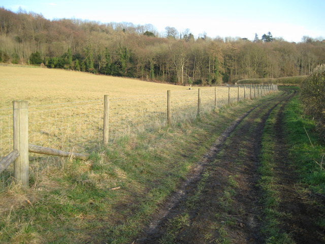
Image: © Nigel Cox Taken: 10 Feb 2008
The National Trust property of Hughenden Manor starts at the wood and a chimney of the building is just visible on the far right. This is a chalk dry valley.
Images are licensed for reuse under creativecommons.org/licenses/by-sa/2.0
Image Location
Latitude
51.650856
Longitude
-0.761229