The Church Tower, Llanfihangel Nant Bran
Introduction
The photograph on this page of The Church Tower, Llanfihangel Nant Bran by Dave Pinniger as part of the Geograph project.
The Geograph project started in 2005 with the aim of publishing, organising and preserving representative images for every square kilometre of Great Britain, Ireland and the Isle of Man.

There are currently over 7.5m images from over 14,400 individuals and you can help contribute to the project by visiting https://www.geograph.org.uk
The Church Tower, Llanfihangel Nant Bran
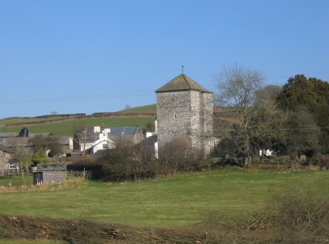
Image: © Dave Pinniger Taken: 13 Feb 2008
This view of Llanfihangel Nant Bran village is taken from a point close to the road bridge over the Nant Bran to the southwest.
Images are licensed for reuse under creativecommons.org/licenses/by-sa/2.0
Image Location
Latitude
51.996265
Longitude
-3.539216