Rashy ground, Langlee
Introduction
The photograph on this page of Rashy ground, Langlee by Richard Webb as part of the Geograph project.
The Geograph project started in 2005 with the aim of publishing, organising and preserving representative images for every square kilometre of Great Britain, Ireland and the Isle of Man.

There are currently over 7.5m images from over 14,400 individuals and you can help contribute to the project by visiting https://www.geograph.org.uk
Rashy ground, Langlee
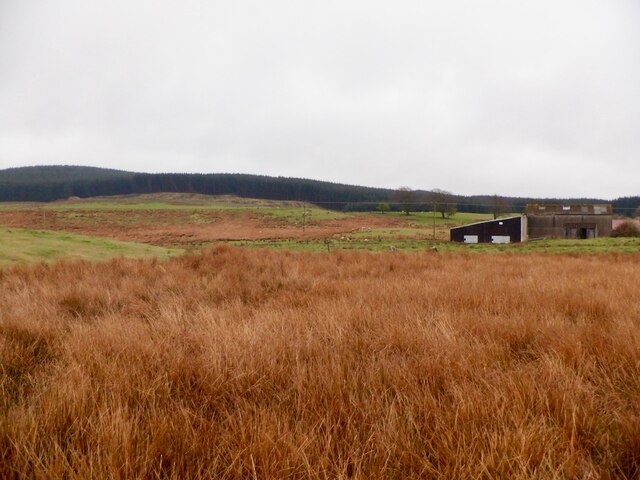
Image: © Richard Webb Taken: 27 Apr 2021
Not surprisingly forestry has a foothold in these hills.
Images are licensed for reuse under creativecommons.org/licenses/by-sa/2.0
Image Location
Latitude
55.736438
Longitude
-4.359859