Up The Pole, St Mary's Bay
Introduction
The photograph on this page of Up The Pole, St Mary's Bay by Des Blenkinsopp as part of the Geograph project.
The Geograph project started in 2005 with the aim of publishing, organising and preserving representative images for every square kilometre of Great Britain, Ireland and the Isle of Man.

There are currently over 7.5m images from over 14,400 individuals and you can help contribute to the project by visiting https://www.geograph.org.uk
Up The Pole, St Mary's Bay
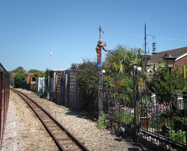
Image: © Des Blenkinsopp Taken: 16 Jun 2021
The railway runs along behind the houses on Laurel Avenue on the edge of St Mary's Bay village. Someone has made a flower pot man figure climbing up a pole. Fixing a light, by the look of it.
Images are licensed for reuse under creativecommons.org/licenses/by-sa/2.0
Image Location
Latitude
51.009602
Longitude
0.971513