Private canal basin, west of Hulme Hall Road bridge [no 99]
Introduction
The photograph on this page of Private canal basin, west of Hulme Hall Road bridge [no 99] by Christine Johnstone as part of the Geograph project.
The Geograph project started in 2005 with the aim of publishing, organising and preserving representative images for every square kilometre of Great Britain, Ireland and the Isle of Man.

There are currently over 7.5m images from over 14,400 individuals and you can help contribute to the project by visiting https://www.geograph.org.uk
Private canal basin, west of Hulme Hall Road bridge [no 99]
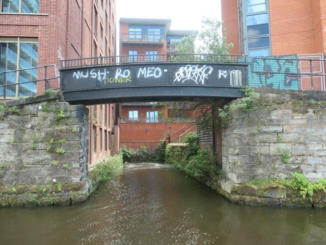
Image: © Christine Johnstone Taken: 22 May 2021
A boater's view. In 1915 this served a timber yard and saw mill.
Images are licensed for reuse under creativecommons.org/licenses/by-sa/2.0
Image Location
Latitude
53.47133
Longitude
-2.264653