New Pond Farm
Introduction
The photograph on this page of New Pond Farm by Ian Capper as part of the Geograph project.
The Geograph project started in 2005 with the aim of publishing, organising and preserving representative images for every square kilometre of Great Britain, Ireland and the Isle of Man.

There are currently over 7.5m images from over 14,400 individuals and you can help contribute to the project by visiting https://www.geograph.org.uk
New Pond Farm
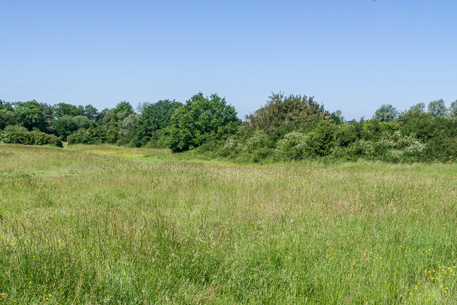
Image: © Ian Capper Taken: 16 Jun 2021
One of a network of grassland fields alongside Earlswood Brook and Felland Copse, owned by Reigate and Banstead Borough Council. The area was farmed until the mid 20th Century but is now open meadowland with mown paths for recreational use and is designated an SNCI.
Images are licensed for reuse under creativecommons.org/licenses/by-sa/2.0
Image Location
Latitude
51.215937
Longitude
-0.188987