Footpath along approximate route of Rookery Lane
Introduction
The photograph on this page of Footpath along approximate route of Rookery Lane by A J Paxton as part of the Geograph project.
The Geograph project started in 2005 with the aim of publishing, organising and preserving representative images for every square kilometre of Great Britain, Ireland and the Isle of Man.

There are currently over 7.5m images from over 14,400 individuals and you can help contribute to the project by visiting https://www.geograph.org.uk
Footpath along approximate route of Rookery Lane
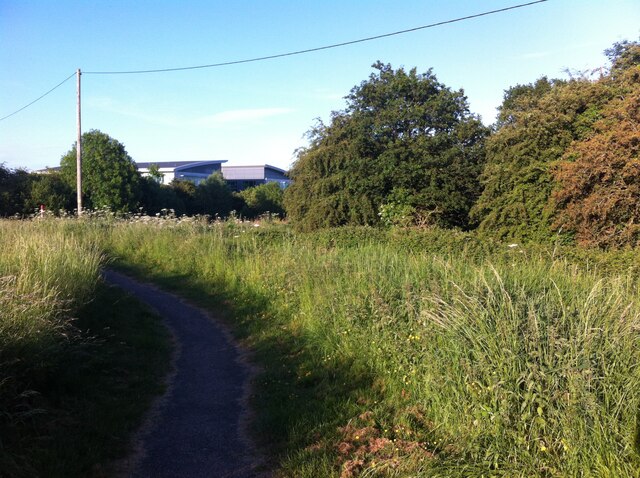
Image: © A J Paxton Taken: 15 Jun 2021
Rookery Lane ran from Rookery Farm in Keresley to the crossroads in Ash Green, where it crossed Wheelwright Lane and joined what is now St. Giles Road, but was then Dead Lane (perhaps because the dead were carried that way to their final resting place in St. Giles churchyard). A track continued south from Rookery Farm to Nunts Lane. This, at least, is the picture given by the OS Six Inch maps of the 1888-1913 series. https://maps.nls.uk/geo/explore/side-by-side/#zoom=17&lat=52.45525&lon=-1.51101&layers=6&right=OSAPI The landscape was subsequently rearranged by the building of Coventry colliery, now the site of Prologis Park, and by the advance of suburban Coventry. The northern section of the lane, from Ash Green to the edge of Prologis Park has become Blackberry Lane. Rookery Farm has disappeared under the grounds of President Kennedy school, while the track to Nunts Lane has become a built-up, suburban Rookery Lane. In between these two roads, paths run among trees around the edge of Prologis Park. The building with the 'broken pediment' roof is Ashbrook Court, a Prologis Park office block built around 2004.
Images are licensed for reuse under creativecommons.org/licenses/by-sa/2.0
Image Location
Latitude
52.452978
Longitude
-1.519213