Unofficial path near Hall Brook, edge of Holbrooks and Keresley, Coventry
Introduction
The photograph on this page of Unofficial path near Hall Brook, edge of Holbrooks and Keresley, Coventry by A J Paxton as part of the Geograph project.
The Geograph project started in 2005 with the aim of publishing, organising and preserving representative images for every square kilometre of Great Britain, Ireland and the Isle of Man.

There are currently over 7.5m images from over 14,400 individuals and you can help contribute to the project by visiting https://www.geograph.org.uk
Unofficial path near Hall Brook, edge of Holbrooks and Keresley, Coventry
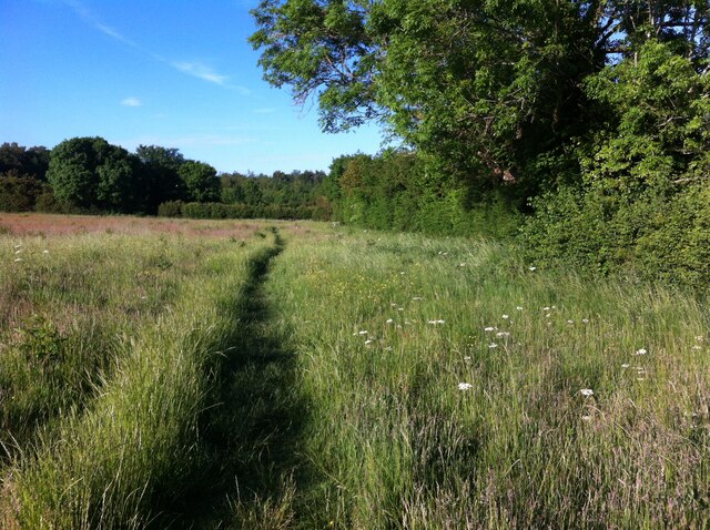
Image: © A J Paxton Taken: 15 Jun 2021
Heading in the direction of Watery Lane, which lies beyond the hedge. A walk to be enjoyed before this land is built on.
Images are licensed for reuse under creativecommons.org/licenses/by-sa/2.0
Image Location


Leaflet Map data © OpenStreetMap
Latitude
52.449956
Longitude
-1.52778