East Keswick, west side of the road
Introduction
The photograph on this page of East Keswick, west side of the road by Mel Towler as part of the Geograph project.
The Geograph project started in 2005 with the aim of publishing, organising and preserving representative images for every square kilometre of Great Britain, Ireland and the Isle of Man.

There are currently over 7.5m images from over 14,400 individuals and you can help contribute to the project by visiting https://www.geograph.org.uk
East Keswick, west side of the road
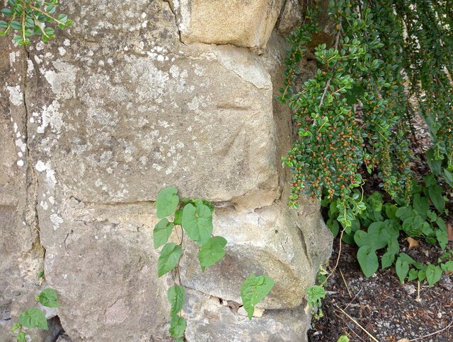
Image: © Mel Towler Taken: 20 Jun 2021
The buttress of this wall is roadside and adjoins the pavement. The wall is to the south [and left] of the Old Star public house. There is a benchmark on the 2nd course of stone which is slightly damaged.
Images are licensed for reuse under creativecommons.org/licenses/by-sa/2.0
Image Location


Leaflet Map data © OpenStreetMap
Latitude
53.893356
Longitude
-1.452021