Old Laithe, Halton Place
Introduction
The photograph on this page of Old Laithe, Halton Place by Stephen Craven as part of the Geograph project.
The Geograph project started in 2005 with the aim of publishing, organising and preserving representative images for every square kilometre of Great Britain, Ireland and the Isle of Man.

There are currently over 7.5m images from over 14,400 individuals and you can help contribute to the project by visiting https://www.geograph.org.uk
Old Laithe, Halton Place
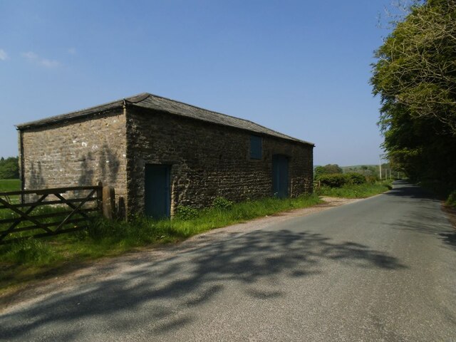
Image: © Stephen Craven Taken: 31 May 2021
The hipped-roof barn is named as 'Old Laithe' on large scale maps, and from the paintwork in the 'estate colour' of pale blue, obviously belongs to nearby Halton Place.
Images are licensed for reuse under creativecommons.org/licenses/by-sa/2.0
Image Location
Latitude
53.98983
Longitude
-2.232549