The path up Knapp Hill
Introduction
The photograph on this page of The path up Knapp Hill by Neil Owen as part of the Geograph project.
The Geograph project started in 2005 with the aim of publishing, organising and preserving representative images for every square kilometre of Great Britain, Ireland and the Isle of Man.

There are currently over 7.5m images from over 14,400 individuals and you can help contribute to the project by visiting https://www.geograph.org.uk
The path up Knapp Hill
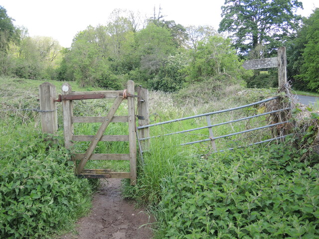
Image: © Neil Owen Taken: 26 May 2021
A rustic welcome, baling twine and all. The growth spurt of the vegetation makes for slightly more interesting passage now the nettles have woken from their early slumber. Trousers on.
Images are licensed for reuse under creativecommons.org/licenses/by-sa/2.0
Image Location
Latitude
51.21317
Longitude
-2.621431