The Sidings Pool, Bluebell Drive Park, Bedworth
Introduction
The photograph on this page of The Sidings Pool, Bluebell Drive Park, Bedworth by A J Paxton as part of the Geograph project.
The Geograph project started in 2005 with the aim of publishing, organising and preserving representative images for every square kilometre of Great Britain, Ireland and the Isle of Man.

There are currently over 7.5m images from over 14,400 individuals and you can help contribute to the project by visiting https://www.geograph.org.uk
The Sidings Pool, Bluebell Drive Park, Bedworth
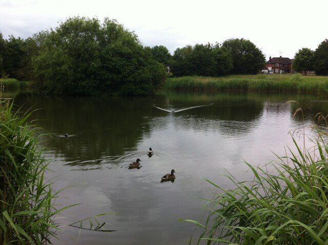
Image: © A J Paxton Taken: 19 Jun 2021
This pond is situated near the junction of Heath Road and Smorrall Lane, in the western suburbs of Bedworth. It is known locally as the Sidings Pool, and a glance at the OS Six Inch map, 1888-1913 Series, shows a siding here running off the mineral railway that connected the Newdigate Colliery on Astley Lane to the Coventry-Nuneaton railway line to the east. The colliery closed in 1982 and the tracks have long since been removed, but the route of the mineral railway can still be traced, especially where it passes through cuttings. https://maps.nls.uk/geo/explore/side-by-side/#zoom=16&lat=52.47762&lon=-1.50003&layers=6&right=OSAPI
Images are licensed for reuse under creativecommons.org/licenses/by-sa/2.0
Image Location
Latitude
52.474902
Longitude
-1.494682