Chalets, Marine Drive, Port Werburgh
Introduction
The photograph on this page of Chalets, Marine Drive, Port Werburgh by Robin Webster as part of the Geograph project.
The Geograph project started in 2005 with the aim of publishing, organising and preserving representative images for every square kilometre of Great Britain, Ireland and the Isle of Man.

There are currently over 7.5m images from over 14,400 individuals and you can help contribute to the project by visiting https://www.geograph.org.uk
Chalets, Marine Drive, Port Werburgh
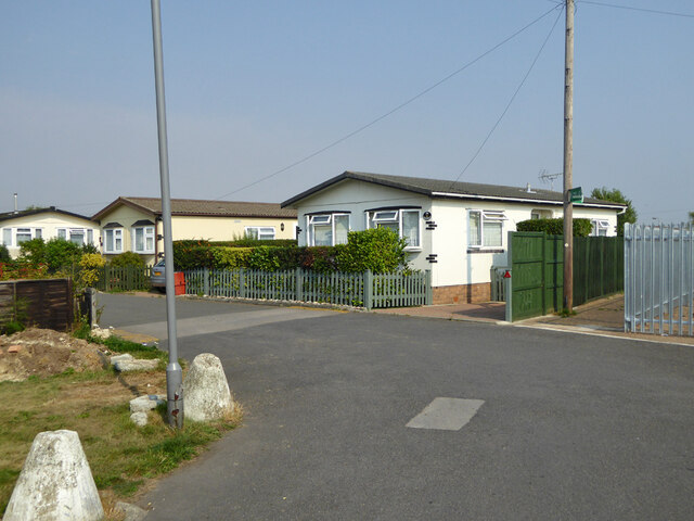
Image: © Robin Webster Taken: 15 Sep 2016
This appears to be the new name for Hoo Marina Park. The park is a large settlement of chalets. The Saxon Shore Way threads through the area, continuing to the right of the near chalet.
Images are licensed for reuse under creativecommons.org/licenses/by-sa/2.0
Image Location
Latitude
51.411807
Longitude
0.561466