Direction Sign ? Signpost at Tye Green, Wimbish
Introduction
The photograph on this page of Direction Sign ? Signpost at Tye Green, Wimbish by S Willing as part of the Geograph project.
The Geograph project started in 2005 with the aim of publishing, organising and preserving representative images for every square kilometre of Great Britain, Ireland and the Isle of Man.

There are currently over 7.5m images from over 14,400 individuals and you can help contribute to the project by visiting https://www.geograph.org.uk
Direction Sign ? Signpost at Tye Green, Wimbish
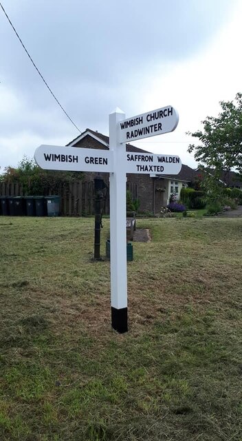
Image: © S Willing Taken: 17 Jun 2021
Located at Tye Green on the southeast side of the T junction of Mill Road, Maple Lane and Top Road in Wimbish parish. 3 arms and pyramid finial. Refurbished by Steve Willing in 2021. Milestone Society National ID: EX_TL5935
Images are licensed for reuse under creativecommons.org/licenses/by-sa/2.0
Image Location
Latitude
51.995322
Longitude
0.318093