Mine boundary maker, Band House Land, Stenalees
Introduction
The photograph on this page of Mine boundary maker, Band House Land, Stenalees by R Fleet as part of the Geograph project.
The Geograph project started in 2005 with the aim of publishing, organising and preserving representative images for every square kilometre of Great Britain, Ireland and the Isle of Man.

There are currently over 7.5m images from over 14,400 individuals and you can help contribute to the project by visiting https://www.geograph.org.uk
Mine boundary maker, Band House Land, Stenalees
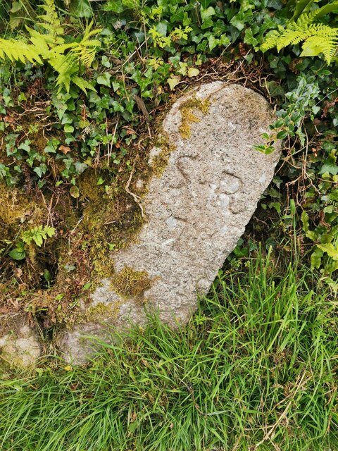
Image: © R Fleet Taken: 17 Jun 2021
Mine Boundary Marker on Band House Lane, Stenalees. Treverbyn parish. Inscribed S R / T perhaps for Singlerose china clay mine and Treverbyn. Milestone Society National ID: CW_TREVER01em
Images are licensed for reuse under creativecommons.org/licenses/by-sa/2.0
Image Location
Latitude
50.377988
Longitude
-4.792727