North Wold Farm
Introduction
The photograph on this page of North Wold Farm by Mr T as part of the Geograph project.
The Geograph project started in 2005 with the aim of publishing, organising and preserving representative images for every square kilometre of Great Britain, Ireland and the Isle of Man.

There are currently over 7.5m images from over 14,400 individuals and you can help contribute to the project by visiting https://www.geograph.org.uk
North Wold Farm
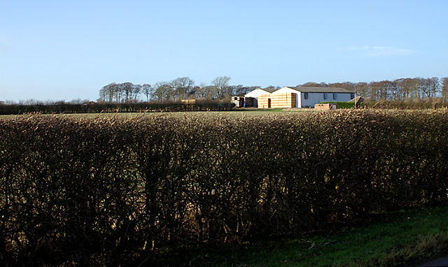
Image: © Mr T Taken: 5 Jan 2008
The large barns tower over the bungalow, the roof of which can just be seen on the right.
Images are licensed for reuse under creativecommons.org/licenses/by-sa/2.0
Image Location
Latitude
53.464788
Longitude
-0.259094