Lock Lane
Introduction
The photograph on this page of Lock Lane by Malcolm Neal as part of the Geograph project.
The Geograph project started in 2005 with the aim of publishing, organising and preserving representative images for every square kilometre of Great Britain, Ireland and the Isle of Man.

There are currently over 7.5m images from over 14,400 individuals and you can help contribute to the project by visiting https://www.geograph.org.uk
Lock Lane
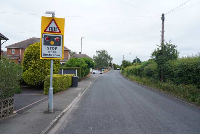
Image: © Malcolm Neal Taken: 17 Jun 2021
Lock Lane as the name implies leads to Trent Lock and a public house as well as a golf club after the road crosses the railway line.
Images are licensed for reuse under creativecommons.org/licenses/by-sa/2.0
Image Location
Latitude
52.879537
Longitude
-1.285827