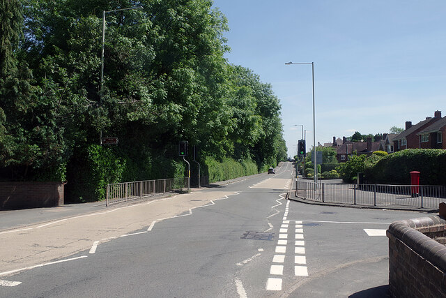
Holyhead Road, Wellington
Introduction
The photograph on this page of Holyhead Road, Wellington by Stephen McKay as part of the Geograph project.
The Geograph project started in 2005 with the aim of publishing, organising and preserving representative images for every square kilometre of Great Britain, Ireland and the Isle of Man.
There are currently over 7.5m images from over 14,400 individuals and you can help contribute to the project by visiting https://www.geograph.org.uk

Image: © Stephen McKay Taken: 15 Jun 2021
The name gives a clue that this was once a more important road than it is now. Originally part of Roman Watling Street (note the dead straight alignment), it became the A5 in modern times. Nowadays, however, through traffic is directed onto the M54, which runs a short distance to the south, leaving Holyhead Road, with its new designation as the B5061, with hardly any traffic (at least in this view). Golf Links Lane leads off to the right.

