Looking up the Hill of Airlie
Introduction
The photograph on this page of Looking up the Hill of Airlie by Bill Harrison as part of the Geograph project.
The Geograph project started in 2005 with the aim of publishing, organising and preserving representative images for every square kilometre of Great Britain, Ireland and the Isle of Man.

There are currently over 7.5m images from over 14,400 individuals and you can help contribute to the project by visiting https://www.geograph.org.uk
Looking up the Hill of Airlie
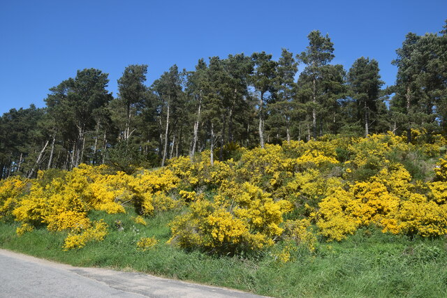
Image: © Bill Harrison Taken: 12 Jun 2021
The hill is the site of an iron Age fort (see Canmore listing 17701: https://canmore.org.uk/site/17701/barmkyn-of-north-keig ) but impenetrable gorse faces onto the road.
Images are licensed for reuse under creativecommons.org/licenses/by-sa/2.0
Image Location
Latitude
57.267613
Longitude
-2.669