Clare: on Malting Lane
Introduction
The photograph on this page of Clare: on Malting Lane by John Sutton as part of the Geograph project.
The Geograph project started in 2005 with the aim of publishing, organising and preserving representative images for every square kilometre of Great Britain, Ireland and the Isle of Man.

There are currently over 7.5m images from over 14,400 individuals and you can help contribute to the project by visiting https://www.geograph.org.uk
Clare: on Malting Lane
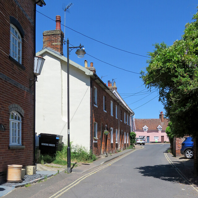
Image: © John Sutton Taken: 16 Jun 2021
Looking towards the junction with Nethergate Street and Well Lane on the cloudless morning of one of the hottest days of the year to date.
Images are licensed for reuse under creativecommons.org/licenses/by-sa/2.0
Image Location


Leaflet Map data © OpenStreetMap
Latitude
52.076793
Longitude
0.580691