Roughly vegetated ground
Introduction
The photograph on this page of Roughly vegetated ground by Trevor Littlewood as part of the Geograph project.
The Geograph project started in 2005 with the aim of publishing, organising and preserving representative images for every square kilometre of Great Britain, Ireland and the Isle of Man.

There are currently over 7.5m images from over 14,400 individuals and you can help contribute to the project by visiting https://www.geograph.org.uk
Roughly vegetated ground
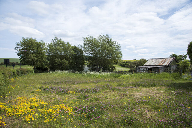
Image: © Trevor Littlewood Taken: 15 Jun 2021
The small enclosure is on the south side of the B1285 at the edge of Hetton-Le-Hole. The building could well be in use as a stable - there are horses in the area.
Images are licensed for reuse under creativecommons.org/licenses/by-sa/2.0
Image Location
Latitude
54.815567
Longitude
-1.438839