Whittington Walk construction site
Introduction
The photograph on this page of Whittington Walk construction site by Chris Allen as part of the Geograph project.
The Geograph project started in 2005 with the aim of publishing, organising and preserving representative images for every square kilometre of Great Britain, Ireland and the Isle of Man.

There are currently over 7.5m images from over 14,400 individuals and you can help contribute to the project by visiting https://www.geograph.org.uk
Whittington Walk construction site
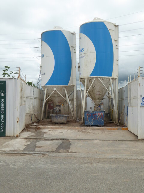
Image: © Chris Allen Taken: 10 Jun 2021
Part of the building site for the new Whittington Walk housing development. These two silos are on Swinesherd Lane. Last time I photographed them it was a weekend and the gates were closed, hiding the bottom of the silos.
Images are licensed for reuse under creativecommons.org/licenses/by-sa/2.0
Image Location
Latitude
52.182951
Longitude
-2.173856