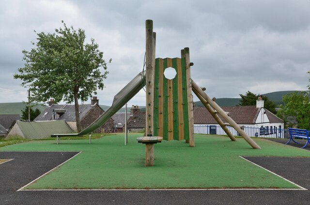
Summit of the Mound, Crawfordjohn
Introduction
The photograph on this page of Summit of the Mound, Crawfordjohn by Jim Barton as part of the Geograph project.
The Geograph project started in 2005 with the aim of publishing, organising and preserving representative images for every square kilometre of Great Britain, Ireland and the Isle of Man.
There are currently over 7.5m images from over 14,400 individuals and you can help contribute to the project by visiting https://www.geograph.org.uk

Image: © Jim Barton Taken: 15 Jun 2021
The mound was reputed to be the site of a defensive tower erected when the village was founded in the 12th century. (Source: 'Village Trails in Clydesdale and Tweeddale' by Rosemary Turpie and Ian Gilchrist, Quothquan Trails 2015). Now it is host to a children's play area and seats for those further along life's journey, but for all it gives a fine view of the surroundings.

