Scotton village
Introduction
The photograph on this page of Scotton village by Mel Towler as part of the Geograph project.
The Geograph project started in 2005 with the aim of publishing, organising and preserving representative images for every square kilometre of Great Britain, Ireland and the Isle of Man.

There are currently over 7.5m images from over 14,400 individuals and you can help contribute to the project by visiting https://www.geograph.org.uk
Scotton village
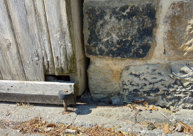
Image: © Mel Towler Taken: 15 Jun 2021
This is a picture of part of the stone wall of a private residence on the building opposite the north end of Mire Syke Lane. This stone is immediately right of a wooden sliding door. It is the lowest course of stone and shows a surveyor's cut mark. The arrowheads which are part of the mark have been obscured, and likely due to the raised pavement which will have been put in place after the cut mark.
Images are licensed for reuse under creativecommons.org/licenses/by-sa/2.0
Image Location
Latitude
54.026889
Longitude
-1.508429