Walden Beck
Introduction
The photograph on this page of Walden Beck by Matthew Hatton as part of the Geograph project.
The Geograph project started in 2005 with the aim of publishing, organising and preserving representative images for every square kilometre of Great Britain, Ireland and the Isle of Man.

There are currently over 7.5m images from over 14,400 individuals and you can help contribute to the project by visiting https://www.geograph.org.uk
Walden Beck
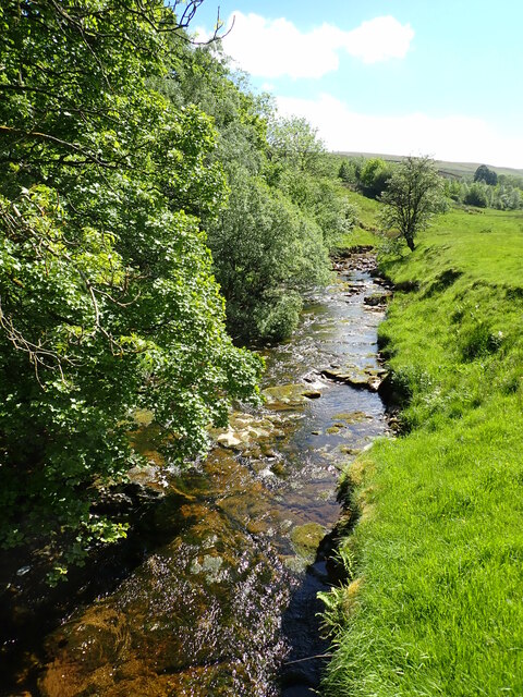
Image: © Matthew Hatton Taken: 12 Jun 2021
What is effectively a small river, Walden Beck winds its way down the valley cutting through the various geological layers. Here it runs over a hard bed of Simonstone Limestone.
Images are licensed for reuse under creativecommons.org/licenses/by-sa/2.0
Image Location
Latitude
54.235593
Longitude
-1.991374