Green space off Hall Lane
Introduction
The photograph on this page of Green space off Hall Lane by Stephen Craven as part of the Geograph project.
The Geograph project started in 2005 with the aim of publishing, organising and preserving representative images for every square kilometre of Great Britain, Ireland and the Isle of Man.

There are currently over 7.5m images from over 14,400 individuals and you can help contribute to the project by visiting https://www.geograph.org.uk
Green space off Hall Lane
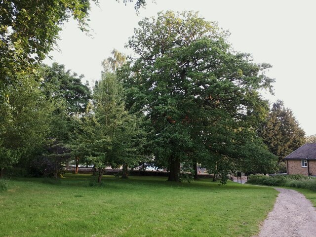
Image: © Stephen Craven Taken: 11 Jun 2021
This small green space between areas of housing includes the public footpath seen in the photo, but is also counted as part of the Hunger Hills public open space (the majority of which consists of a woodland, separated from this section by several hundred metres, and connected by this path).
Images are licensed for reuse under creativecommons.org/licenses/by-sa/2.0
Image Location
Latitude
53.839171
Longitude
-1.647096