River Dee/Afon Dyfrdwy and cycleway
Introduction
The photograph on this page of River Dee/Afon Dyfrdwy and cycleway by John S Turner as part of the Geograph project.
The Geograph project started in 2005 with the aim of publishing, organising and preserving representative images for every square kilometre of Great Britain, Ireland and the Isle of Man.

There are currently over 7.5m images from over 14,400 individuals and you can help contribute to the project by visiting https://www.geograph.org.uk
River Dee/Afon Dyfrdwy and cycleway
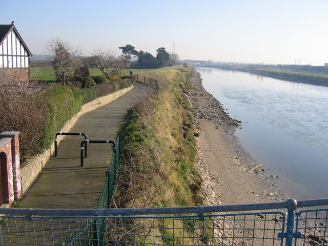
Image: © John S Turner Taken: 12 Feb 2008
Looking towards Chester from the footbridge at Higher Ferry over the River Dee/Afon Dyfrdwy. The cycleway along the top of the bank runs all the way to Chester.
Images are licensed for reuse under creativecommons.org/licenses/by-sa/2.0
Image Location
Latitude
53.185815
Longitude
-2.944395