Meadow and woodland, West Wycombe
Introduction
The photograph on this page of Meadow and woodland, West Wycombe by Andrew Smith as part of the Geograph project.
The Geograph project started in 2005 with the aim of publishing, organising and preserving representative images for every square kilometre of Great Britain, Ireland and the Isle of Man.

There are currently over 7.5m images from over 14,400 individuals and you can help contribute to the project by visiting https://www.geograph.org.uk
Meadow and woodland, West Wycombe
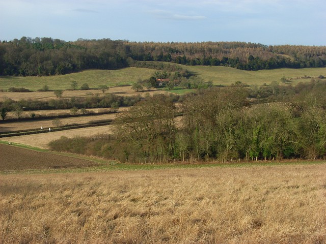
Image: © Andrew Smith Taken: 3 Feb 2008
Looking down on the southern tip of Pimlock's Wood from beside Kit's Wood. Across the valley is the ridge to the north of West Wycombe Hill.
Images are licensed for reuse under creativecommons.org/licenses/by-sa/2.0
Image Location
Latitude
51.659366
Longitude
-0.801478