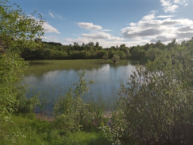
Pond at North Edge of Kingshill Local Nature Reserve
Introduction
The photograph on this page of Pond at North Edge of Kingshill Local Nature Reserve by Ian Dodds as part of the Geograph project.
The Geograph project started in 2005 with the aim of publishing, organising and preserving representative images for every square kilometre of Great Britain, Ireland and the Isle of Man.
There are currently over 7.5m images from over 14,400 individuals and you can help contribute to the project by visiting https://www.geograph.org.uk

Image: © Ian Dodds Taken: 12 Jun 2021
Kingshill Nature Reserve is essentially situated on the grounds of the former Kingshill Colliery, situated just South of the village of Allanton, by neccesity as much as anything else. Due to the damage done by the mining operations, along with the fact that the mine was situated in a peat bog, there is little chance of this land having the potential to be used for profitable farming or residential use anytime soon. This isn't meant to sound scathing - the fact is that, quite rightly, these days spoiled land must be made better by whichever council oversees it. So North Lanarkshire Council have to do their best with whatever they have been left with, which in this case isn't a great deal. Not that it's a bad place, it's just run-of-the-mill countryside now termed a nature reserve! This largish pond is, in my opinion, its best feature. The pond is roughly in the same position of one of the mine ponds shown on a 1950s OS map, when the mine was still operational.

