House near Hoyle Farm
Introduction
The photograph on this page of House near Hoyle Farm by Ian Hawfinch as part of the Geograph project.
The Geograph project started in 2005 with the aim of publishing, organising and preserving representative images for every square kilometre of Great Britain, Ireland and the Isle of Man.

There are currently over 7.5m images from over 14,400 individuals and you can help contribute to the project by visiting https://www.geograph.org.uk
House near Hoyle Farm
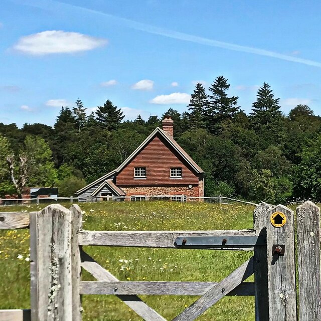
Image: © Ian Hawfinch Taken: 12 Jun 2021
This house lies just to the north of the public footpath that approaches the farm from the west.
Images are licensed for reuse under creativecommons.org/licenses/by-sa/2.0
Image Location


Leaflet Map data © OpenStreetMap
Latitude
50.961693
Longitude
-0.703319