Downpatrick Street from the Rathfriland Bus Depot
Introduction
The photograph on this page of Downpatrick Street from the Rathfriland Bus Depot by Eric Jones as part of the Geograph project.
The Geograph project started in 2005 with the aim of publishing, organising and preserving representative images for every square kilometre of Great Britain, Ireland and the Isle of Man.

There are currently over 7.5m images from over 14,400 individuals and you can help contribute to the project by visiting https://www.geograph.org.uk
Downpatrick Street from the Rathfriland Bus Depot
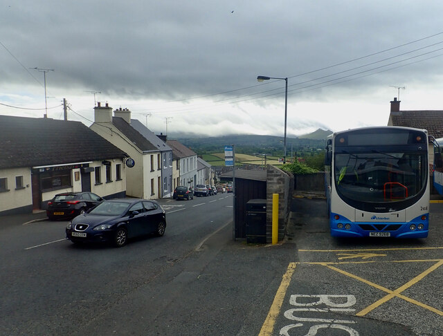
Image: © Eric Jones Taken: 9 Jun 2021
The Mournes, half hidden by low cloud, can be seen in the background, including on the right the Hen Mountain with its distinctive tors.
Images are licensed for reuse under creativecommons.org/licenses/by-sa/2.0
Image Location
Latitude
54.236223
Longitude
-6.158184