Steps down to the River Ogmore at Craig-y-Parcau, Bridgend
Introduction
The photograph on this page of Steps down to the River Ogmore at Craig-y-Parcau, Bridgend by eswales as part of the Geograph project.
The Geograph project started in 2005 with the aim of publishing, organising and preserving representative images for every square kilometre of Great Britain, Ireland and the Isle of Man.

There are currently over 7.5m images from over 14,400 individuals and you can help contribute to the project by visiting https://www.geograph.org.uk
Steps down to the River Ogmore at Craig-y-Parcau, Bridgend
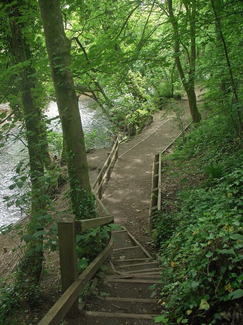
Image: © eswales Taken: 8 Jun 2021
A view from the more northerly of two sets of steps at Craig-y-Parcau Local Nature Reserve. These both descend to the side of the river from a path which runs relatively high up along the wooded slope on which the reserve is situated.
Images are licensed for reuse under creativecommons.org/licenses/by-sa/2.0
Image Location
Latitude
51.50041
Longitude
-3.589731