Direction Sign ? Signpost on Knutsford Road in Antrobus
Introduction
The photograph on this page of Direction Sign ? Signpost on Knutsford Road in Antrobus by John V Nicholls as part of the Geograph project.
The Geograph project started in 2005 with the aim of publishing, organising and preserving representative images for every square kilometre of Great Britain, Ireland and the Isle of Man.

There are currently over 7.5m images from over 14,400 individuals and you can help contribute to the project by visiting https://www.geograph.org.uk
Direction Sign ? Signpost on Knutsford Road in Antrobus
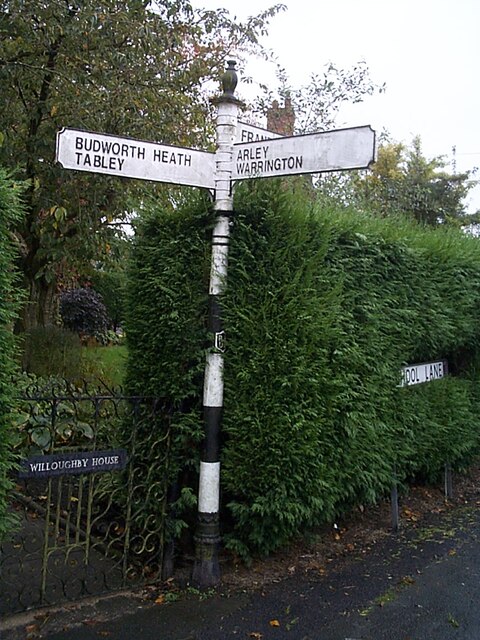
Image: © John V Nicholls Taken: 12 Oct 2005
Located on the southeast side of the crossroads of School Lane, Knutsford Road and Barbers Lane in Antrobus parish. 3 replacement arms, ornate spike finial and R R / D C in a shield on the pillar. It dates from the 1920’s. See also http://www.geograph.org.uk/photo/3165052. Milestone Society National ID: CH_SJ6479
Images are licensed for reuse under creativecommons.org/licenses/by-sa/2.0
Image Location
Latitude
53.312574
Longitude
-2.537135