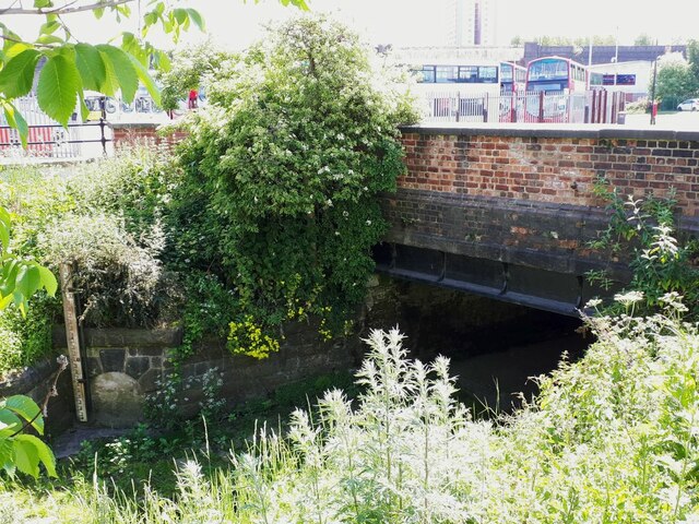
Springwell Road bridge
Introduction
The photograph on this page of Springwell Road bridge by Stephen Craven as part of the Geograph project.
The Geograph project started in 2005 with the aim of publishing, organising and preserving representative images for every square kilometre of Great Britain, Ireland and the Isle of Man.
There are currently over 7.5m images from over 14,400 individuals and you can help contribute to the project by visiting https://www.geograph.org.uk

Image: © Stephen Craven Taken: 8 Jun 2021
This bridge carries the road over the Hol Beck. The beck's natural course has been culverted for about 3km under the industrial areas of South Leeds - see Image for near the other end of this long culvert, where it is called the Wortley Beck. Peak flows are attenuated by Farnley balancing reservoir a further 3km upstream, nevertheless recent flood alleviation work has raised the wall of the channel along Water Lane. Note the depth gauge at the left, covering a range from 1.0 to 3.5 metres; to the right of the gauge is a former culvert outfall now plugged with concrete.

