Replacement stone for listed milestone on eastern verge of A7 north of Blackford
Introduction
The photograph on this page of Replacement stone for listed milestone on eastern verge of A7 north of Blackford by Roger Templeman as part of the Geograph project.
The Geograph project started in 2005 with the aim of publishing, organising and preserving representative images for every square kilometre of Great Britain, Ireland and the Isle of Man.

There are currently over 7.5m images from over 14,400 individuals and you can help contribute to the project by visiting https://www.geograph.org.uk
Replacement stone for listed milestone on eastern verge of A7 north of Blackford
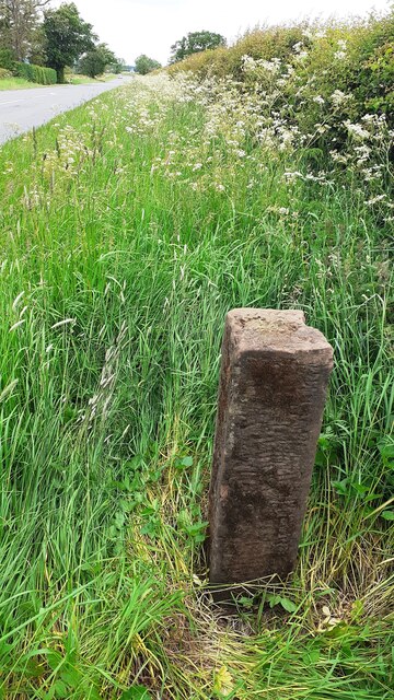
Image: © Roger Templeman Taken: 9 Jun 2021
Ordnance Survey records indicate that there was a rivet benchmark on top of the original milestone which showed 4 miles to Carlisle. The mark levelled at 24.231m above Newlyn Datum was verified in 1972.
Images are licensed for reuse under creativecommons.org/licenses/by-sa/2.0
Image Location
Latitude
54.955449
Longitude
-2.944219