Houses south of Llanover church
Introduction
The photograph on this page of Houses south of Llanover church by M J Roscoe as part of the Geograph project.
The Geograph project started in 2005 with the aim of publishing, organising and preserving representative images for every square kilometre of Great Britain, Ireland and the Isle of Man.

There are currently over 7.5m images from over 14,400 individuals and you can help contribute to the project by visiting https://www.geograph.org.uk
Houses south of Llanover church
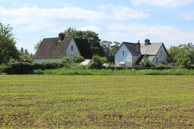
Image: © M J Roscoe Taken: 8 Jun 2021
The house on the left, Maes yr Afon, was Llanover parish school, 1835 - 1925, principally for children of estate workers on Llanover Estate. The house on the right, Tyr Ysgol, was the schoolhouse.
Images are licensed for reuse under creativecommons.org/licenses/by-sa/2.0
Image Location


Leaflet Map data © OpenStreetMap
Latitude
51.777948
Longitude
-2.987039