Cinder Track, Whitby
Introduction
The photograph on this page of Cinder Track, Whitby by Malc McDonald as part of the Geograph project.
The Geograph project started in 2005 with the aim of publishing, organising and preserving representative images for every square kilometre of Great Britain, Ireland and the Isle of Man.

There are currently over 7.5m images from over 14,400 individuals and you can help contribute to the project by visiting https://www.geograph.org.uk
Cinder Track, Whitby
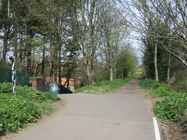
Image: © Malc McDonald Taken: 26 Apr 2021
The Cinder Track path follows the route of a dismantled railway between Scarborough and Whitby. The path also forms part of the route of National Cycle Network route 1. Here, the cycle path leaves the former railway to the left, descending a slope then entering the town of Whitby. The footpath continues a short distance along the railway formation, before leaving the railway embankment using a flight of steps. A National Cycle Network millennium milepost stands to the left of the image.
Images are licensed for reuse under creativecommons.org/licenses/by-sa/2.0
Image Location
Latitude
54.482355
Longitude
-0.622734