At the end of Links Road
Introduction
The photograph on this page of At the end of Links Road by Marathon as part of the Geograph project.
The Geograph project started in 2005 with the aim of publishing, organising and preserving representative images for every square kilometre of Great Britain, Ireland and the Isle of Man.

There are currently over 7.5m images from over 14,400 individuals and you can help contribute to the project by visiting https://www.geograph.org.uk
At the end of Links Road
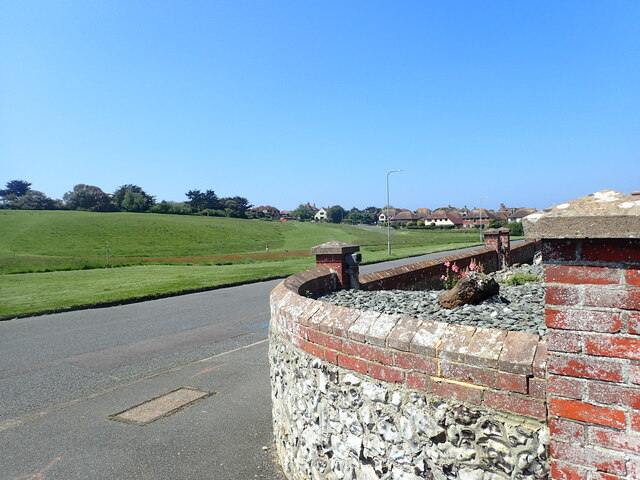
Image: © Marathon Taken: 5 Jun 2021
The edge of Seaford Head Golf Course closest to Chyngton Road has been left rough, as can be seen at https://www.geograph.org.uk/photo/6859651 It is popular with walkers. The houses of Southdown Road are in the distance. This is on the corner of Links Road where it meets Chyngton Road.
Images are licensed for reuse under creativecommons.org/licenses/by-sa/2.0
Image Location
Latitude
50.768419
Longitude
0.115423